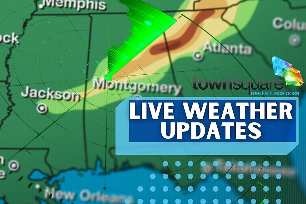
Nonstop Severe Weather Coverage for West, Central Alabama
Townsquare Media Tuscaloosa is providing you with nonstop live updates on the severe weather threat for Tuesday, April 5, 2022. Here you will find the latest information like threats, risk areas, and timeline. In addition, we will provide details on any watches and warnings that are issued.
Current Watches and Warnings
BMX cancels Tornado Watch for Hale, Marengo [AL]
BMX cancels Tornado Watch for Greene, Sumter [AL]
BMX continues Tornado Watch for Autauga, Barbour, Bullock, Dallas, Elmore, Lee, Lowndes, Macon, Montgomery, Perry, Pike, Russell [AL] till 2:00 PM CDT
National Weather Service in Birmingham Highlights
Tuesday:
Where: All of Central Alabama
When: 6 am to 4 pm
Threats: Damaging winds up to 60 mph, tornadoes, instances of flooding
Wednesday:
Where: All of Central Alabama
When: Afternoon into the night
Threats: Damaging winds up to 70 mph, large hail, a tornado or two
According to James Spann, ABC 33/40, and Townsquare Media Tuscaloosa Chief Meteorologist, “an organized mass of rain and storms will move through Alabama tomorrow, mostly during the morning hours. Heavy rain/flooding is the main concern over the northern counties, while severe storms are possible over South Alabama with strong winds and isolated tornadoes.”

As always, if any of our coverage areas go under a Tornado Warning, we will provide you with nonstop weather coverage.
Townsquare Media Tuscaloosa Coverage Areas
Bibb, Fayette, Greene, Hale, Lamar, Perry, Pickens, Sumter, Tuscaloosa, and Walker counties.
Townsquare Media Tuscaloosa Radio Stations
Praise 93.3, 92.9 WTUG, 95.3 The Bear, METV 97.5, Catfish 100.1, Tide 100.9, ALT 101.7, and 105.1 The Block.
(Source) Click here to follow the Facebook Page for the National Weather Service. Click here to follow the Facebook Page for James Spann.
KEEP READING: Get answers to 51 of the most frequently asked weather questions...
Ways to Receive Severe Weather Information
TIPS: Here's how you can prepare for power outages
Severe Weather Terminology You Should Know
More From ME TV FM 97.5


